
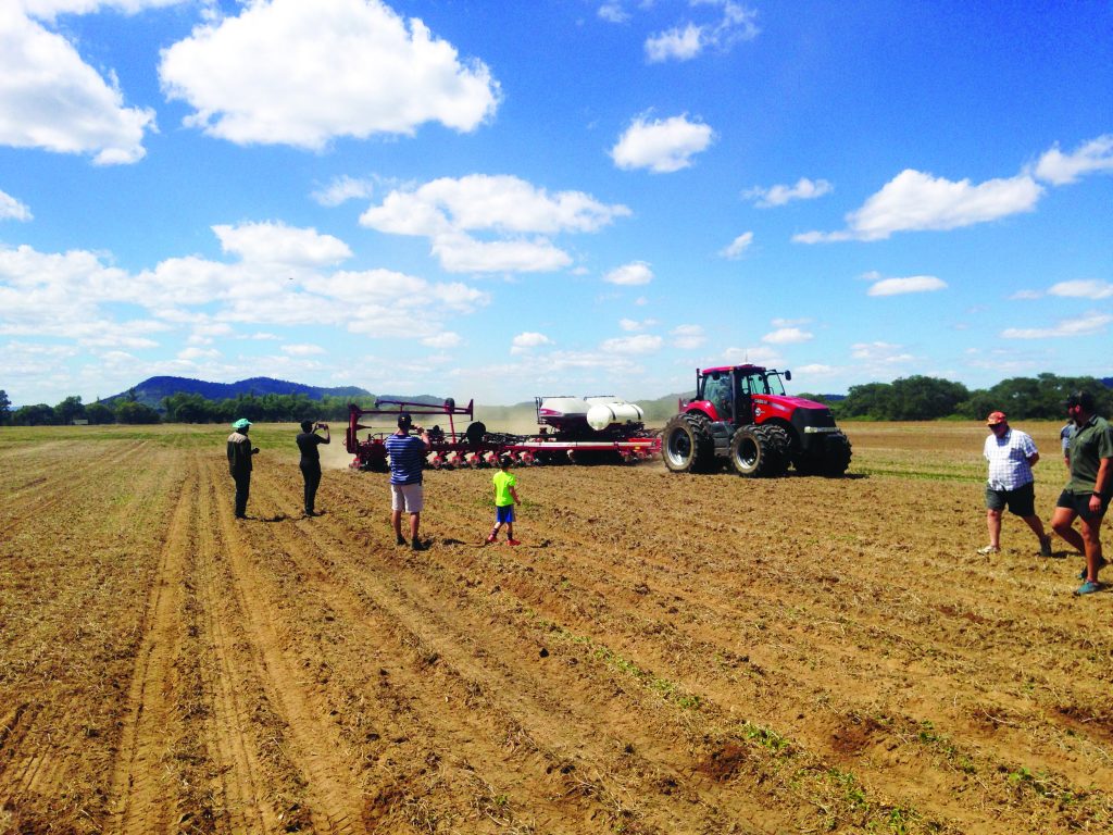
A recent
field day in Lion’s Den co-hosted by Brink Bosman, Blue Sky Farming, and
Agricon Equipment, brought farmers from countrywide to see for themselves, some
of the very latest farming technology in action. Bosman gave working demonstrations
of the tractors, combine harvesters, seed planters, harrows, rippers and
sprayers and
other equipment that he uses on his row crops. There was over 5000 horsepower
of machinery on display.
The technology on here was cutting edge. Field mapping and Global positioning
Systems (GPS), were the order of the day. In other parts of the world, this
kind of precision farming is not new and it is gathering momentum worldwide –
mechanisation plays a large part in the drive for greater farming efficiency.
But in Zimbabwe, it is relatively new and this field day attracted a large
amount of interest.
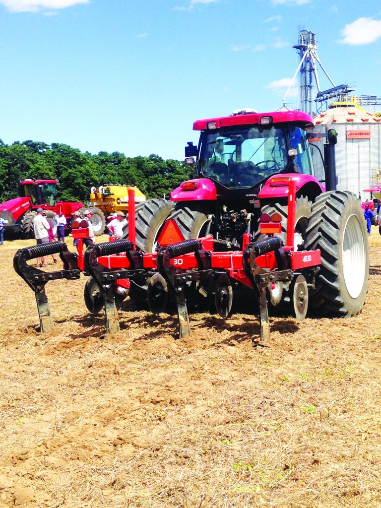
However, this kind of equipment comes at a price. But, in the long term, that initial outlay is offset by earlier germination, optimal yields, less wastage of chemicals and fertiliser and more efficient planting systems. This means a farmer will have more control over input costs and crop yields. The CASE tractors were massive and, in some cases, “driverless”, and this equipment was being used here for large scale wheat, maize and soya farming, but it certainly piqued the interest of all the farmers who came to see it working. Agricon Equipment equip the tractors and equipment with Trimble GPS systems and also sell unmanned aerial vehicles (drones) to farmers.
This is farming today and this is also farming for the future. Zimbabwean
farmers have a part to play in the regeneration of Zimbabwe’s economy and farming like this goes a long way in contributing.
Research predicts that expected
global population levels will reach 9.5 billion and current food production
must effectively double to feed every mouth. With new technological
advancements in farming, every farmer would be able to contribute to increased
production using the same hectarage. What is
field mapping? It is satellite farming or site-specific
crop management and is a farming management concept based on observing, measuring and responding to
field variability in crops. The goal of this is to optimise returns on inputs while
preserving resources.
It has been enabled by the advent of Global Positioning Systems (GPS) and Global Navigation Satellite Systems (GNSS). (Source: Wikipedia). Variables that can be measured by the farmer’s ability to locate their precise location in a field are:
- Crop yield
- Topography/terrain
- Organic matter content
- Moisture
- Nitrogen
- pH
- Mineral levels